Detailed map pdf of Tenerife island
Tenerife is a large island with many interesting locations, towns, villages, seaside resorts, beaches and cities to explore.
It has a surface area of 2034 km squared and is strangely triangular shaped, showing off its central peak of Teide which is 3719 metres in height and is the highest point in Spain. The maps of Tenerife has all the vital information you will need to help you get around Tenerife.
Use maps of Tenerife to help plan your trip
Tenerife road map pdf 
Tenerife detailed map – roads, beaches, most interesting places pdf 
Tenerife map of Playa de las Americas and Los Cristianos hotels location pdf 
Tenerife map Puerto De La Cruz hotels locations pdf 
Parque Nacional del Teide map pdf 
Tenerife Teide map pdf 
Los Gigantes – Alcala – Playa San Juan pdf 
Old town Arona map pdf 
Las Galletas map pdf 
Tenerife on foot – the best footpaths in Tenerife map pdf 
Tenerife Nautical Map (Chart) pdf 
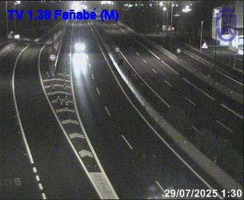
Tenerife real-time traffic road conditions, road map and live webcams 
Tenerife is divided into three areas – the Northern area, the Southern area and the Metropolitan area – which include a total of 31 municipalities. Two of the three most populated cities in the Canary Islands are in Tenerife: Santa Cruz de Tenerife, the capital of the island; and San Cristóbal de La Laguna. From the largest city to the smallest hamlet, each town has its own local council, traditions and typical landscape.

Map of Tenerife island
Most of Tenerife’s tourist activity takes place in three areas: the South, with a peculiar contrast between its country villages in the mountains, its magnificent beaches and its range of exclusive accommodation on the coast; the Metropolitan Area, with much of the Island’s shopping and cultural life; and the North, which combines stunning landscapes with Tenerife’s most genuine gastronomy and hidden corners. Nature, sport, relaxation, leisure, beaches…
Whatever you are looking for, Tenerife has got it.

